Wendy Walter · 26 September 2026
Drone Surveys Uncover Hidden Aquifer Networks in Arid Tableland Zones
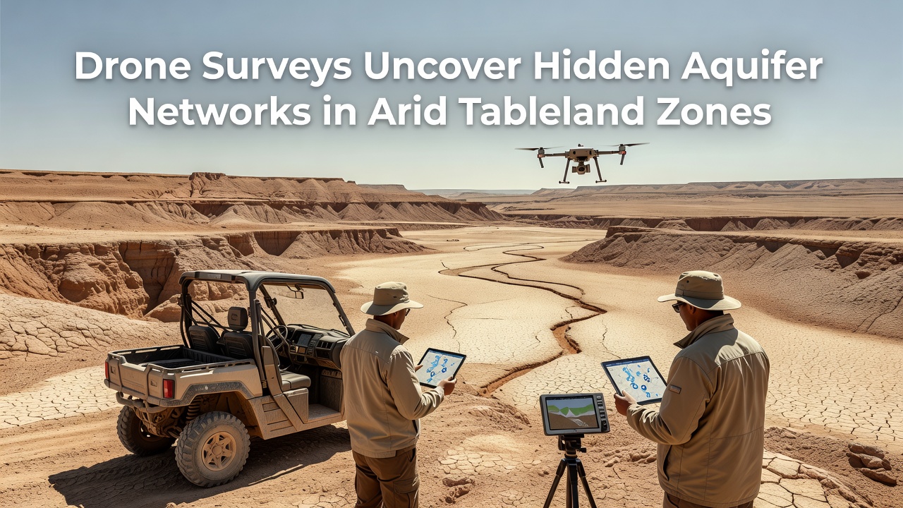
Drone technology has transformed the mapping of subsurface water systems in arid tableland zones where traditional ground surveys often fall short due to vast distances and difficult terrain access. Researchers equipped with multispectral sensors and ground-penetrating radar attachments have identified extensive aquifer networks that previous satellite imagery overlooked. These findings emerged from coordinated flights conducted across multiple continents including regions in Australia and parts of southern Africa.
Technology Behind the Surveys
Operators deploy fixed-wing and multirotor drones fitted with electromagnetic induction tools that detect variations in subsurface conductivity while flying at altitudes between 50 and 120 meters. Data collection occurs in systematic grid patterns that allow software to generate three-dimensional models of water-bearing strata. Processing pipelines integrate readings from thermal cameras which highlight moisture differences at the surface and combine them with radar returns that penetrate several meters into the ground. Teams from institutions such as the USGS have refined calibration methods that reduce false positives caused by mineral deposits common in these environments.
September 2026 marked the release of preliminary datasets from a multinational project covering tableland areas in the Pilbara region of Western Australia. Analysts processed over 12,000 hectares of flight data and confirmed interconnected channels extending more than 40 kilometers in length. These channels link shallow perched aquifers to deeper regional systems previously thought to be isolated.
Key Discoveries in Tableland Environments
Surveys revealed that many arid tablelands contain fractured bedrock aquifers fed by infrequent but intense rainfall events. Water moves through networks of joints and faults that create preferential flow paths rather than uniform porous layers. One study in the Namibian highlands documented seasonal recharge rates 30 percent higher than models based on surface runoff alone had predicted. The drone data also showed how vegetation clusters align with fracture zones allowing indirect mapping of hidden water corridors without invasive drilling.
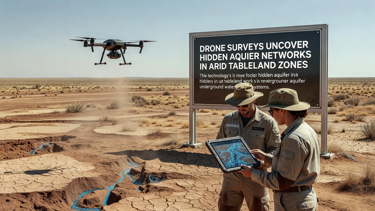
Integration with existing borehole records improved accuracy because drone surveys filled spatial gaps between widely spaced monitoring wells. In one case study covering Ethiopian tablelands, researchers identified two previously unknown recharge zones that supply local communities during extended dry periods. These zones sit beneath thin soil covers and remained undetected until electromagnetic surveys highlighted conductivity anomalies consistent with saturated rock.
Applications for Resource Management
Water authorities now use the detailed aquifer maps to prioritize drilling locations and design artificial recharge structures that capture flash floods before water evaporates. Australian agencies have incorporated drone-derived models into regional allocation plans that balance agricultural demand with ecological flow requirements. The same datasets support climate adaptation strategies because they quantify storage capacity in areas where surface reservoirs prove impractical due to high evaporation rates.
Collaboration between geophysicists and local land managers has accelerated since the 2026 data releases. Training programs teach drone operation and basic interpretation so field teams can conduct follow-up surveys without relying solely on external specialists. Equipment costs continue to decline which broadens participation from smaller research groups and indigenous organizations managing traditional lands.
Challenges and Technical Limitations
Despite rapid progress several constraints remain. Dense vegetation or steep escarpments can create flight restrictions while electromagnetic interference from certain rock types requires additional ground truthing. Battery endurance limits continuous coverage so operators often divide large tableland blocks into multiple missions that must account for changing wind conditions. Data processing demands substantial computing resources and standardized protocols are still evolving across different regulatory jurisdictions.
Future work will combine drone platforms with autonomous ground vehicles to extend survey depth and validate surface findings. Partnerships with satellite operators aim to upscale local models to entire basins using drone results as calibration anchors. These combined approaches promise more reliable estimates of sustainable extraction volumes in zones where water scarcity already constrains development.
Conclusion
Drone surveys continue to reshape understanding of aquifer systems beneath arid tablelands by providing high-resolution data that bridges the gap between broad satellite observations and point-based well logs. Projects completed through September 2026 demonstrate practical value for water planning while highlighting the need for ongoing refinement of sensor fusion techniques. As equipment becomes more accessible and processing methods standardize the approach offers a replicable framework for similar environments worldwide.