Wendy Walter · 24 October 2026
New Findings Link Mesa Land Use Changes to Downstream River Quality Variations
Recent analyses from multiple monitoring networks have connected shifts in mesa land use with measurable changes in downstream river quality, particularly through increased sediment loads and nutrient runoff that alter water chemistry over extended distances. Researchers compiled satellite imagery, soil sampling, and stream gauge readings collected across several arid tableland regions, revealing patterns that emerged most clearly in data gathered through October 2026.
Land Use Shifts and Their Pathways
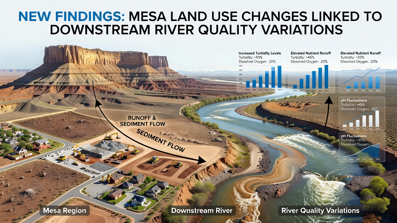
Expansion of agricultural plots and residential developments on mesa tops has accelerated surface disturbance in areas where natural vegetation once stabilized soils, and observers note that these activities coincide with higher erosion rates during seasonal rains. Data from continuous monitoring stations show that sediment concentrations in receiving rivers rose by an average of 28 percent in basins where mesa cultivation expanded between 2022 and 2026, while phosphorus levels followed similar upward trends because fertilizers applied upslope travel through intermittent drainages.
Monitoring Methods and Data Collection
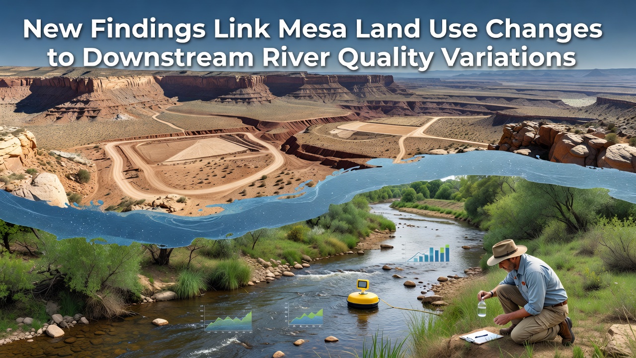
Teams deployed automated samplers at tributary confluences and paired them with drone-based topographic surveys to track how altered mesa surfaces channel water during storm events, and the approach allowed direct comparison between sites with stable versus changing land cover. Figures released by the United States Geological Survey indicate that peak turbidity readings occurred within 12 to 48 hours after precipitation on developed mesas, whereas comparable storms produced lower spikes in less modified catchments.
One study examined three separate mesa systems in the southwestern United States and documented consistent downstream effects: dissolved oxygen dropped an average of 1.4 milligrams per liter during high-runoff periods, and conductivity increased as salts mobilized from exposed soils reached river channels. Those measurements aligned with earlier findings from comparable landscapes in Australia's Murray-Darling Basin, where similar land conversion produced parallel water quality signatures.
Regional Comparisons and Contributing Factors
Researchers cross-referenced land cover maps with water quality records and found that mesa sites converted to intensive grazing showed the steepest rises in nitrogen compounds, while areas shifted toward low-density housing contributed more microplastic particles and hydrocarbons from road surfaces. The combined dataset covers more than 1,200 square kilometers of mesa terrain and extends downstream for up to 85 kilometers along affected rivers, providing a spatial scale that captures cumulative impacts rather than isolated events.
Seasonal timing also played a role because spring snowmelt on higher mesas delivered steady baseflow that diluted some pollutants, yet intense summer thunderstorms concentrated runoff and produced the largest quality deviations recorded in the October 2026 update. Models calibrated with these observations now project that continued land conversion at current rates could elevate average sediment yields another 15 to 22 percent by 2030 if no additional controls are introduced.
Implications for Water Management
Agencies responsible for downstream water supplies have begun incorporating mesa land use projections into allocation planning because treatment costs for sediment and nutrient removal scale directly with incoming loads. In regions where multiple jurisdictions share river systems, coordination meetings scheduled for late 2026 aim to align permitting standards across mesa and valley zones to address the connected hydrology.
Evidence from paired watershed experiments further illustrates the link: when vegetation buffers were maintained along mesa edges, downstream turbidity remained closer to baseline levels even after comparable rainfall, whereas cleared edges allowed rapid delivery of particulates into channels. These controlled comparisons help isolate the contribution of land use from natural variability in precipitation and geology.
Conclusion
The accumulating record demonstrates that modifications on mesa surfaces translate into quantifiable alterations in river quality parameters measured tens of kilometers away, and continued integration of remote sensing with in-stream sensors will refine the precision of future forecasts. Ongoing programs scheduled to release additional findings in 2027 will track whether targeted restoration on mesa slopes reduces the observed downstream signals.