Gisela Wolf · 12 September 2026
Sensor Networks Expose Underground Dynamics Beneath Mesa Landscapes
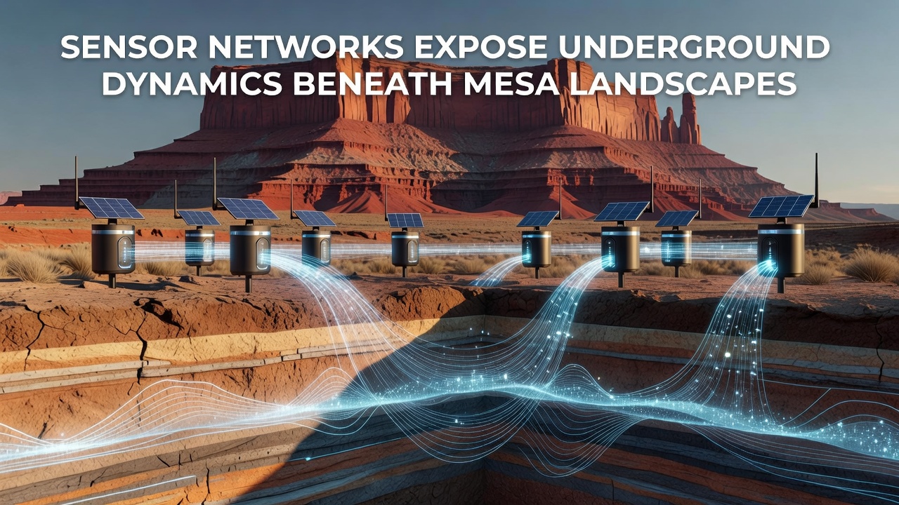
Wireless sensor networks now track subsurface water movement, seismic vibrations, and soil compaction patterns beneath mesa formations in the American Southwest, and these systems deliver continuous data streams that researchers analyze for patterns in groundwater recharge and erosion processes.
Core Components of Mesa Subsurface Monitoring
Mesa landscapes feature layered sandstone and shale formations that channel water through fractures and aquifers, while sensor arrays placed at varying depths capture pressure changes, temperature gradients, and moisture levels across multiple strata, and these readings reveal how flash floods recharge deep reservoirs during monsoon seasons. Take one monitoring project in northern Arizona where clusters of piezometers and accelerometers recorded a 12 percent increase in fracture permeability after heavy rainfall events in 2025, and the data aligned with satellite imagery of surface cracking.
Researchers install nodes equipped with low-power wide-area radios that transmit readings every 15 minutes to central gateways, and the networks operate on solar-recharged batteries that last up to three years without maintenance, whereas traditional wired systems required frequent trenching that disturbed fragile desert soils.
Recent Data Collection Efforts Through 2026
By September 2026, expanded deployments in Utah and Colorado had logged over 2.4 million sensor-hours of subsurface activity, and preliminary analysis showed seasonal shifts in aquifer pressure that correlate with surface vegetation stress indices derived from Landsat archives. Observers note that these correlations help land managers predict which mesa slopes face elevated risk of rockfall when groundwater tables rise above historical averages.
One field team documented how micro-tremors from distant mining operations traveled through mesa caprock and altered local seepage rates, while another group in New Mexico found that sensor-detected salinity spikes preceded visible surface salt crust formation by several weeks, and both findings emerged from cross-referenced datasets shared among university and federal partners.
Integration With Broader Environmental Datasets
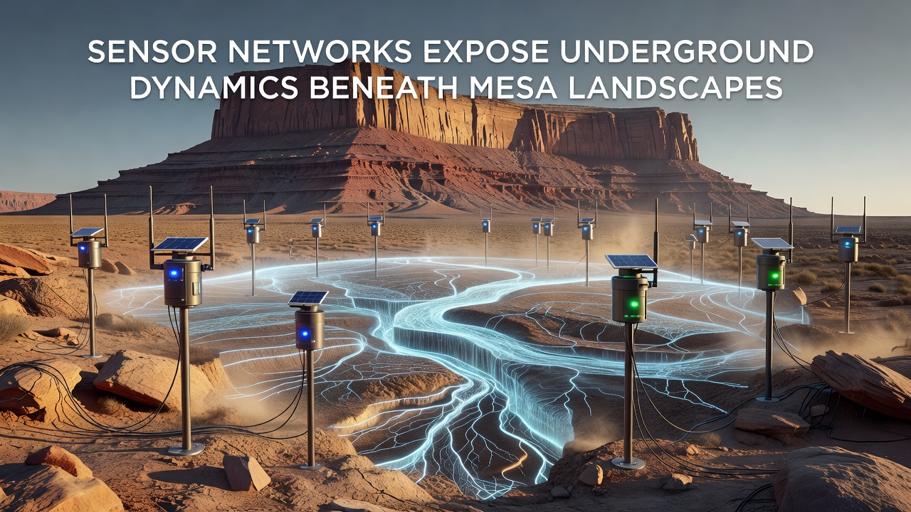
Networks feed raw measurements into cloud platforms that combine them with weather station records and LiDAR elevation models, and this fusion produces three-dimensional animations of water tables fluctuating beneath flat-topped landforms. Data from the US Geological Survey Southwest Biological Science Center shows that such integrated models improved the accuracy of groundwater flow simulations by 18 percent compared with earlier methods that relied solely on surface observations.
European researchers at the European Environment Agency have adapted similar protocols for sandstone plateaus in Spain, and their comparative studies highlight how arid-region sensor spacing differs from temperate zones because of greater diurnal temperature swings that affect battery performance and signal propagation.
Technical Challenges and Network Resilience
Dust accumulation and extreme temperature swings between day and night create signal interference that engineers mitigate through redundant node placement and adaptive transmission power, and field tests in 2024 demonstrated that mesh topologies maintained 97 percent uptime even when individual sensors failed during summer heatwaves. Power management algorithms now adjust sampling frequency based on detected activity thresholds, which extends operational life while preserving high-resolution records during critical recharge events.
Maintenance crews visit sites quarterly to recalibrate instruments and replace failed units, yet remote diagnostics have reduced the number of physical interventions by nearly half since 2023, and these efficiencies allow larger areas to be instrumented without proportional increases in personnel.
Conclusion
Sensor networks continue to map previously invisible interactions between surface climate and deep geology across mesa regions, and the resulting datasets support refined models of aquifer sustainability and slope stability. Continued expansion of these systems through 2026 and beyond supplies land agencies with the granular evidence needed to allocate resources for erosion control and habitat protection in arid environments.